
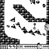
Q Draw by Mikita Yasuda


Proof-of-concept Pokédex app (through Arceus) by Michael Verive


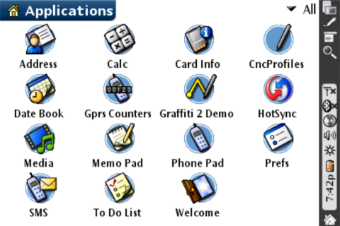
Palm OS Cobalt POC by PalmSource, BEIKS
This is not Palm OS Cobalt
This application is meant to promote the new and exciting Palm OS Cobalt as well as illustrate the opportunities of the viral marketing. It is packed with awards and ...


